Schools
National Geographic Giant North America Map coming to Melrose!
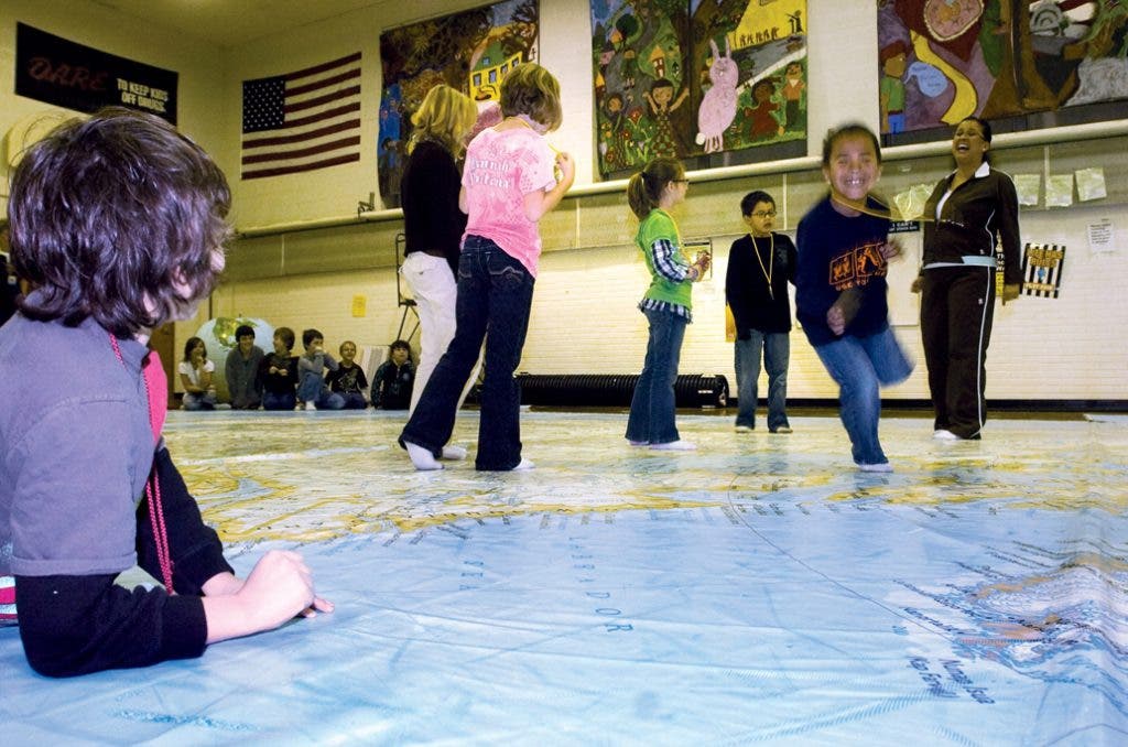
Students at the Roosevelt, Winthrop and Lincoln elementary schools will be exploring North America in a big way -- with one of the world's largest maps of the continent. The map, measuring 35 feet 26 feet, gives students a fun, interactive experience through rich content and exciting activities that enliven the study of geography. Led by the schools' PTO Enrichment Coordinators, it will be on display at the Roosevelt school gym on May 1 & 2, then it will move on the Winthrop and Lincoln schools.
The brightly colored, smooth vinyl surface of the map accurately illustrates North America's oceans, seas, rivers, mountains, countries and capitals. It is designed for grades K-8 and comes with a trunk full of accessories, including interactive games, geography adventures, atlases and books that teach students about the physical characteristics of the continent as well as its rich history and varied cultures. For more info, visit www.nationalgeographic.com/giantmaps.


